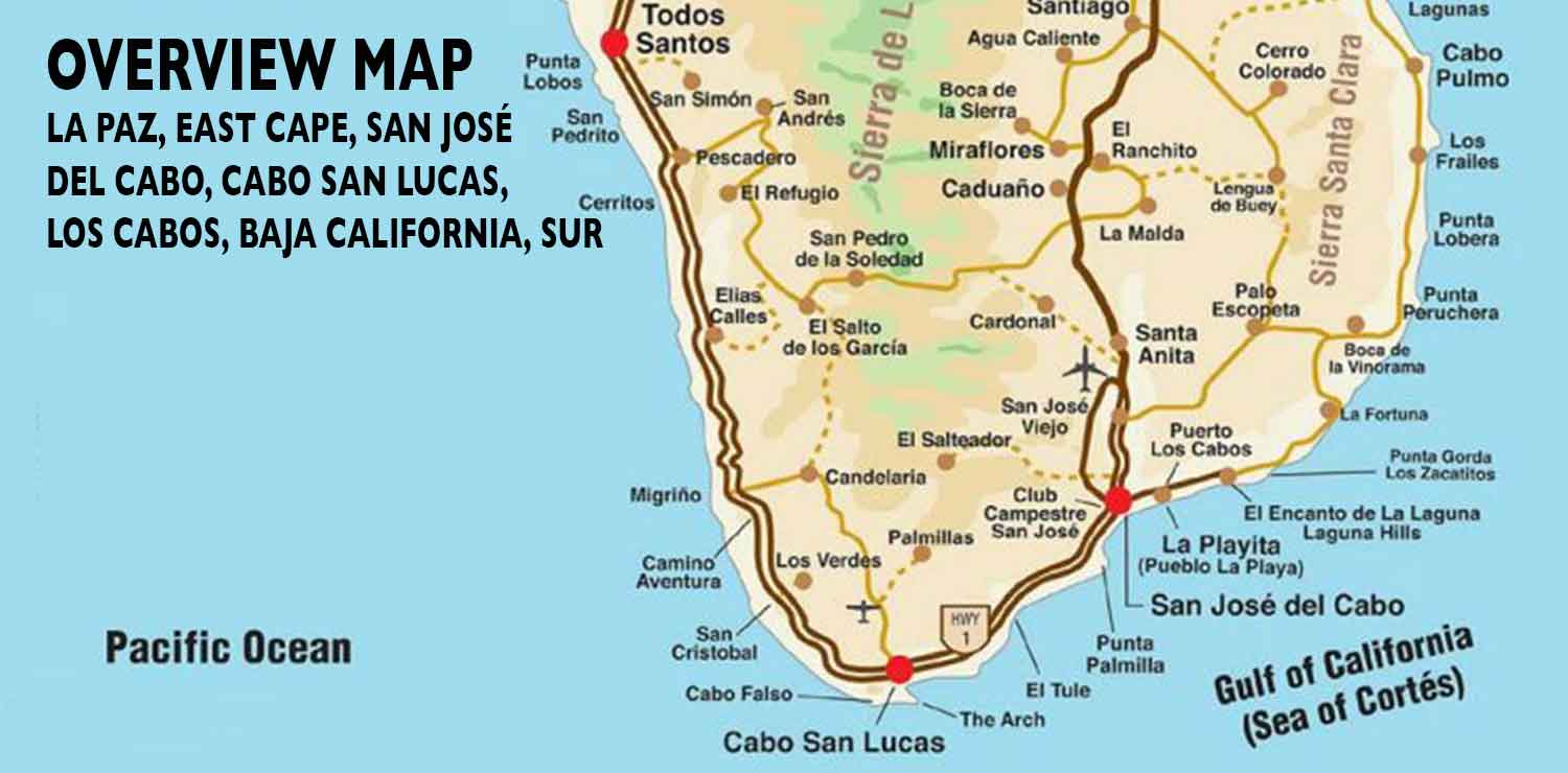
This Los Cabos Overview Map shows the locations of Cabo San Lucas, San Jose del Cabo, Todos Santos, The East Cape, Buena Vista, San Pedro, the Los Cabos International Airport and other points of interest in Los Cabos on the southern tip of Baja California Sur, Mexico.
Note: These map icons and the larger map files are solely intended for the viewing pleasure of our readers, travelers and tourists who would like to get a better idea of the street layout of Cabo San Lucas, San Jose del Cabo and the Los Cabos region. These street maps may be printed by travelers and tourists on their home computers and used for their trip to Cabo San Lucas, San Jose del Cabo and the Los Cabos area. These street maps may not be used for any commercial purposes. They represent hours of research and illustration time. The use of these maps in other websites on the internet or any other media is strictly prohibited unless full written permission is obtained directly from our publisher. These maps and other pictures and photographs on this web site contain copyright information and our Digimarc Creator Identification.