|
With the 8:00 pm PDT advisory on October 22, 2006, Paul was upgraded to a Category One hurricane on the Saffir-Simpson scale, with maximum sustained winds of 75. The center of Hurricane Paul, was located near 16.1 N and 111.1 W about 475 miles (765 km) south of the southern tip of Baja California Sur.
Hurricane Paul increased in strength, to a Category Two Hurricane, on the Saffir-Simpson scale, with 100 mph winds, with the 5:00 am PDT, October 23, 2006 advisory. The center was located near latitude 16.4 north, longitude 111.5 west or about 400 miles (645 km) south-southwest of Cabo San Lucas Mexico. Winds increased to 110 mph, almost a category three hurricane, before weakening.
Paul was downgraded to a category one hurricane with maximum sustained winds near 90 mph (150 km/hr) and higher gusts at 2:00 pm PDT, Monday, October 23, 2006. The center of Hurricane Paul was located near latitude 17.0 north, longitude 111.6 west or about 420 miles (680 km) south-southwest of Cabo San Lucas, Mexico.
Paul weakens to a tropical storm at 8:00 am PDT, Tuesday, October 24, 2006 with maximum sustained winds near 65 mph (100 km/hr) and higher gusts. The center of Tropical Storm Paul was located near latitude 18.9 north, longitude 112.0 west or about 310 miles (495 km) south-southwest of Cabo San Lucas, Mexico and about 470 miles (750 km) southwest of Mazatlan, Mexico.
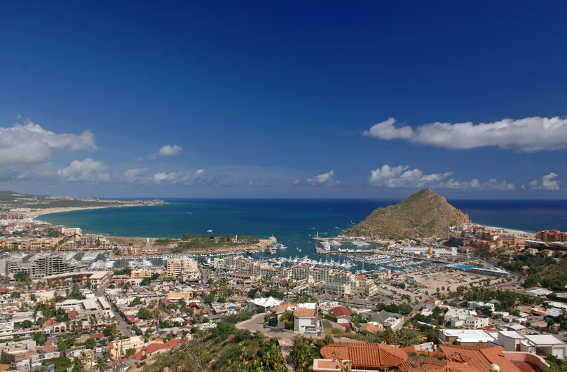
Wednesday morning, 2:00 am PDT the center of Tropical Storm Paul was located near latitude 21.8 N, longitude 109.9 W or about 75 miles (120 km) south of Cabo San Lucas, Mexico. Maximum sustained winds were near 45 mph, forecasted to weaken.
The opening day of the Bisbee’s Black & Blue Tournament, scheduled to begin Wednesday, October 25, 2006, was postponed until Thursday as the storm moved way from the area.
Tropical Storm Paul passed about 50 miles south of Los Cabos, Baja California Sur during the early morning of Wednesday, October 25, 2006 moving toward mainland Mexico. There was moderate rain, gusty winds and an intense electrical storm during the night. Wednesday there were scattered clouds and nice breezes. Workers were busy cleaning streets, shoveling and sweeping sand left behind as the rainwater flowed to the sea, Wednesday and Thursday.
|